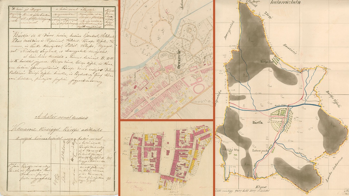
Digitizing landscapes in Slovakia
The Geodetic and Cartographic Institute of Bratislava (GKU) is a budgetary organization established by the Geodesy, Cartography and Cadastre Authority of the Slovak Republic to fulfill the tasks of state administration for geodesy, cartography and real estate cadastre.
CHALLENGE
Today, the Institute implements, manages, and develops the information system of geodesy, cartography, and cadastres. Cadastral maps are used with other documents to real estate registry, taxes and other needs of a state. They are stored at Cadastral Offices and some of them in Central Archive of Geodesy and Cartography. They are part of the cadastral documentation.
Since the time of the cadastre of real estate was established in the 17th century, and up to the present day, a large amount of map series have been made. Maps are an important form of information, whether ancient, modern or future.
GKU map fund consists of sheets created in various periods of time, in various scales, and in different technical quality. Because archival holdings, especially maps, are also used in many other scientific disciplines, the Institute (with its archive) was incorporated into the network of state archives of special importance. In order to preserve the content, the office is now undergoing a digitisation process where they aim to preserve historical data for the future.
SOLUTION
The beginnings of digitization of cadastral maps and first experiments to use scanners go back to 1991. Cadastral maps are currently digitized with the scanning technology, which allows conversion of map series from the analogue to the digital form.
The digital outputs are ready for further postprocessing, and each digital file is enriched with metadata. To solve this challenge of an offline archival solution that ensures the data would be available in the future, the Institute was looking for a solid and safe solution for long-term data storage. Piql technology best met their requirements.
„In Today’s era of digitisation, the success of digital transformation comes from a well-planned collaboration. The most important [part] for us was to safeguard our historical data, in a format that will last forever. And I have no doubt, Piql met all our needs.”
Ing. Juraj Celler, deputy director of GKU
Technical possibilities of the scan workplace make possible the digitization of maps in black-and-white (binary) or colour form in the TIF output format with 400 DPI resolution capability. The files have been converted to preservation format in digital form to ensure its readability in the future and stored to piqlFilm.
FUTURE
The goal of GKÚ Bratislava is complete digitization of cadastral maps filed in the documentation of the cadastral departments of district offices and in the Central Archive of Geodesy and Cartography and the description of raster data by means of metadata. The collaboration is a continuation of the original project piqlFilm-GO.

